Cwmwr Isaf farm buildings
Introduction
The photograph on this page of Cwmwr Isaf farm buildings by Richard Law as part of the Geograph project.
The Geograph project started in 2005 with the aim of publishing, organising and preserving representative images for every square kilometre of Great Britain, Ireland and the Isle of Man.

There are currently over 7.5m images from over 14,400 individuals and you can help contribute to the project by visiting https://www.geograph.org.uk
Cwmwr Isaf farm buildings
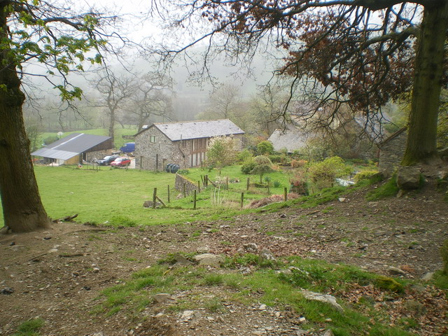
Image: © Richard Law Taken: 19 Apr 2009
Photographed from the bridleway leading northwards - the place is actually hard to photograph close-up, as the trees hide it quite effectively.
Images are licensed for reuse under creativecommons.org/licenses/by-sa/2.0
Image Location
Latitude
52.804867
Longitude
-3.389457