Access to new housing from Bodiam Avenue, Tuffley
Introduction
The photograph on this page of Access to new housing from Bodiam Avenue, Tuffley by Peter Watkins as part of the Geograph project.
The Geograph project started in 2005 with the aim of publishing, organising and preserving representative images for every square kilometre of Great Britain, Ireland and the Isle of Man.

There are currently over 7.5m images from over 14,400 individuals and you can help contribute to the project by visiting https://www.geograph.org.uk
Access to new housing from Bodiam Avenue, Tuffley
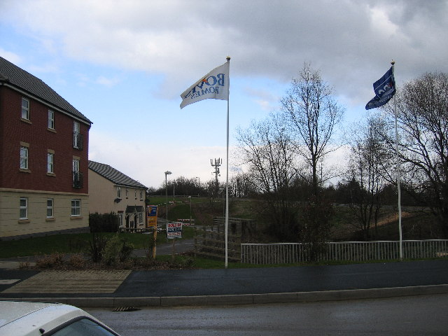
Image: © Peter Watkins Taken: 21 Feb 2006
View north from entrance road to ex-RAF Quedgeley housing, note mobile phone forest. A stream passes underneath, much diverted from the route on the 1940s map. Despite the gloom, it was midday.
Images are licensed for reuse under creativecommons.org/licenses/by-sa/2.0
Image Location
Latitude
51.832221
Longitude
-2.27031