Passing place on the lane to Maeshafn
Introduction
The photograph on this page of Passing place on the lane to Maeshafn by John S Turner as part of the Geograph project.
The Geograph project started in 2005 with the aim of publishing, organising and preserving representative images for every square kilometre of Great Britain, Ireland and the Isle of Man.

There are currently over 7.5m images from over 14,400 individuals and you can help contribute to the project by visiting https://www.geograph.org.uk
Passing place on the lane to Maeshafn
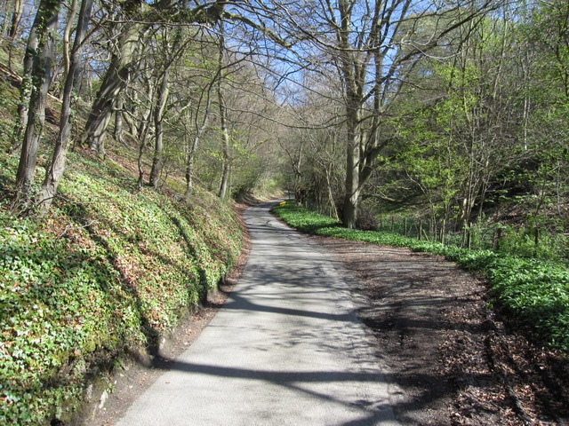
Image: © John S Turner Taken: 19 Apr 2009
The lane to Maeshafn climbs steadily uphill from all the way from Pont y Mwynwr Miners' Bridge over the River Alyn.
Images are licensed for reuse under creativecommons.org/licenses/by-sa/2.0
Image Location
Latitude
53.140266
Longitude
-3.200828