The Bears Cave on the Cusher River
Introduction
The photograph on this page of The Bears Cave on the Cusher River by HENRY CLARK as part of the Geograph project.
The Geograph project started in 2005 with the aim of publishing, organising and preserving representative images for every square kilometre of Great Britain, Ireland and the Isle of Man.

There are currently over 7.5m images from over 14,400 individuals and you can help contribute to the project by visiting https://www.geograph.org.uk
The Bears Cave on the Cusher River
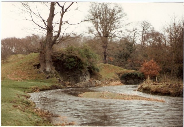
Image: © HENRY CLARK Taken: 10 Oct 1985
Cusher River is a river in County Armagh, Northern Ireland. It is formed by the junction, near Mountnorris, of two small streams (the Creggan and the Blackwater), flows by Tandragee, and joins the River Bann one mile above Portadown
Images are licensed for reuse under creativecommons.org/licenses/by-sa/2.0
Image Location
Latitude
54.353968
Longitude
-6.393647