Church Hill
Introduction
The photograph on this page of Church Hill by Ian Capper as part of the Geograph project.
The Geograph project started in 2005 with the aim of publishing, organising and preserving representative images for every square kilometre of Great Britain, Ireland and the Isle of Man.

There are currently over 7.5m images from over 14,400 individuals and you can help contribute to the project by visiting https://www.geograph.org.uk
Church Hill
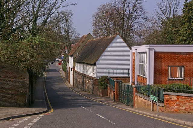
Image: © Ian Capper Taken: 2 Apr 2009
Looking from the lychgate of All Saints Church towards the High Street. On the right is part of the library and beyond the Priory Buildings (see Image).
Images are licensed for reuse under creativecommons.org/licenses/by-sa/2.0
Image Location


Leaflet Map data © OpenStreetMap
Latitude
51.378542
Longitude
0.104418