Highland Track
Introduction
The photograph on this page of Highland Track by Stephen Branley as part of the Geograph project.
The Geograph project started in 2005 with the aim of publishing, organising and preserving representative images for every square kilometre of Great Britain, Ireland and the Isle of Man.

There are currently over 7.5m images from over 14,400 individuals and you can help contribute to the project by visiting https://www.geograph.org.uk
Highland Track
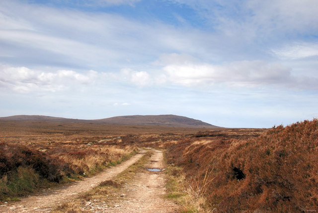
Image: © Stephen Branley Taken: 22 Apr 2009
This track leads off into the moors towards the peat banks. The hills in the distance are a range of 4, the highest being Beinn Mholach at 292m.
Images are licensed for reuse under creativecommons.org/licenses/by-sa/2.0
Image Location
Latitude
58.250043
Longitude
-6.414501