Water Lane, Lower Layham
Introduction
The photograph on this page of Water Lane, Lower Layham by Andrew Hill as part of the Geograph project.
The Geograph project started in 2005 with the aim of publishing, organising and preserving representative images for every square kilometre of Great Britain, Ireland and the Isle of Man.

There are currently over 7.5m images from over 14,400 individuals and you can help contribute to the project by visiting https://www.geograph.org.uk
Water Lane, Lower Layham
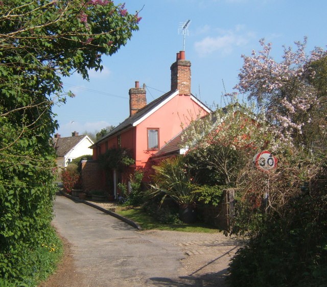
Image: © Andrew Hill Taken: 21 Apr 2009
A tiny lane. Although there are 30 mph signs it looks barely suitable for vehicles which can reach the watermill by Mill Lane instead.
Images are licensed for reuse under creativecommons.org/licenses/by-sa/2.0
Image Location
Latitude
52.025557
Longitude
0.965382