Thorrington level crossing
Introduction
The photograph on this page of Thorrington level crossing by Roger W Haworth as part of the Geograph project.
The Geograph project started in 2005 with the aim of publishing, organising and preserving representative images for every square kilometre of Great Britain, Ireland and the Isle of Man.

There are currently over 7.5m images from over 14,400 individuals and you can help contribute to the project by visiting https://www.geograph.org.uk
Thorrington level crossing
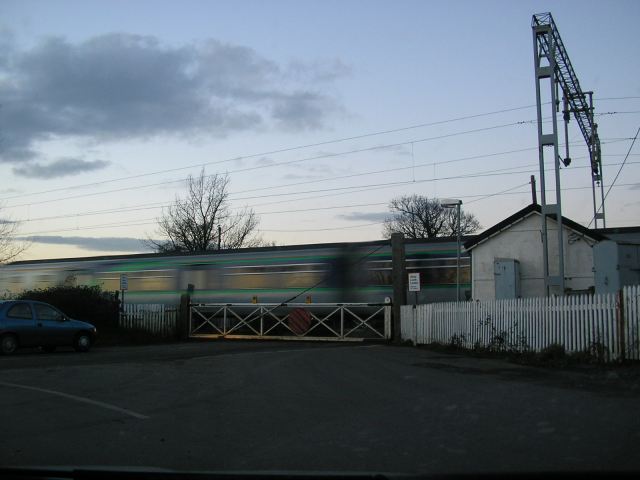
Image: © Roger W Haworth Taken: 14 Feb 2006
at the end of Station Road, Thorrington. The station has closed but trains between Colchester and Clacton/Walton still pass through so someone has to sit in the hut all day just to operate the crossing gates.
Images are licensed for reuse under creativecommons.org/licenses/by-sa/2.0
Image Location
Latitude
51.849278
Longitude
1.035969