Wendover Arm: The Canal runs by a large field
Introduction
The photograph on this page of Wendover Arm: The Canal runs by a large field by Chris Reynolds as part of the Geograph project.
The Geograph project started in 2005 with the aim of publishing, organising and preserving representative images for every square kilometre of Great Britain, Ireland and the Isle of Man.

There are currently over 7.5m images from over 14,400 individuals and you can help contribute to the project by visiting https://www.geograph.org.uk
Wendover Arm: The Canal runs by a large field
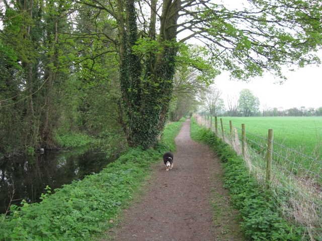
Image: © Chris Reynolds Taken: 13 Apr 2009
At this point the canal forms the boundary of Halton parish, to the south (left) and Weston Turville to the north (right). The field is one of the largest in the area and must be about 25 hectares (circa 60 acres). See Image
Images are licensed for reuse under creativecommons.org/licenses/by-sa/2.0
Image Location
Latitude
51.781418
Longitude
-0.74461