Rosley Village Hall
Introduction
The photograph on this page of Rosley Village Hall by Rose and Trev Clough as part of the Geograph project.
The Geograph project started in 2005 with the aim of publishing, organising and preserving representative images for every square kilometre of Great Britain, Ireland and the Isle of Man.

There are currently over 7.5m images from over 14,400 individuals and you can help contribute to the project by visiting https://www.geograph.org.uk
Rosley Village Hall
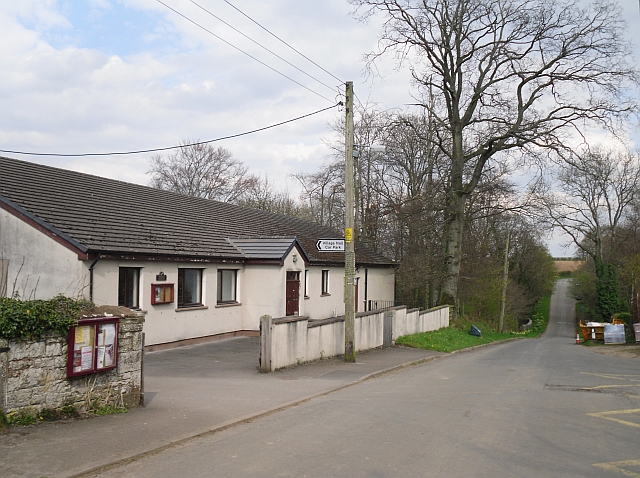
Image: © Rose and Trev Clough Taken: 13 Apr 2009
The hall was opened in 1988 by the Rt. Hon. Viscount Whitelaw. It replaced an older hall, which was an ex-army hut erected in 1926 www.rosley-cumbria.co.uk/village_hall.htm .
Images are licensed for reuse under creativecommons.org/licenses/by-sa/2.0
Image Location
Latitude
54.818829
Longitude
-3.066154