Coventry Road, Warwick
Introduction
The photograph on this page of Coventry Road, Warwick by Robin Stott as part of the Geograph project.
The Geograph project started in 2005 with the aim of publishing, organising and preserving representative images for every square kilometre of Great Britain, Ireland and the Isle of Man.

There are currently over 7.5m images from over 14,400 individuals and you can help contribute to the project by visiting https://www.geograph.org.uk
Coventry Road, Warwick
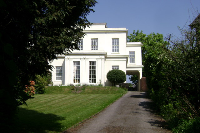
Image: © Robin Stott Taken: 20 Apr 2009
This is the further of the two houses in Image, assumed to be early 19th century, more substantial than appears in that photo, and lucky to survive 20th century attrition on Cliff Hill.
Images are licensed for reuse under creativecommons.org/licenses/by-sa/2.0
Image Location
Latitude
52.288686
Longitude
-1.579195