Church of St Bridget, Beckermet
Introduction
The photograph on this page of Church of St Bridget, Beckermet by John Lord as part of the Geograph project.
The Geograph project started in 2005 with the aim of publishing, organising and preserving representative images for every square kilometre of Great Britain, Ireland and the Isle of Man.

There are currently over 7.5m images from over 14,400 individuals and you can help contribute to the project by visiting https://www.geograph.org.uk
Church of St Bridget, Beckermet
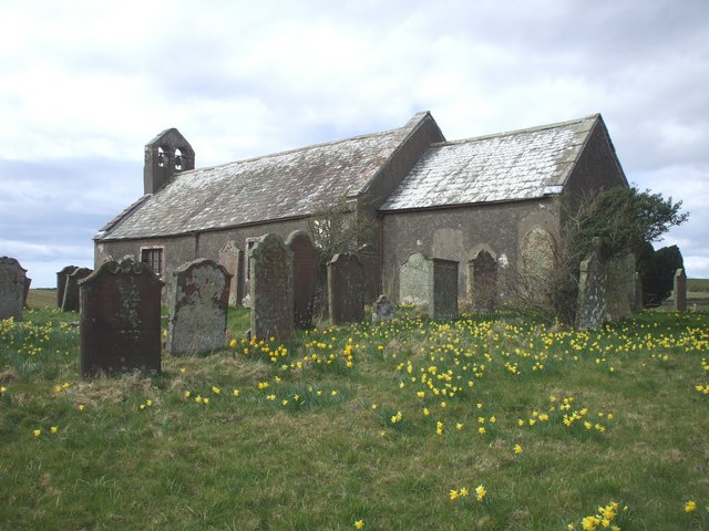
Image: © John Lord Taken: 28 Mar 2009
The church is some distance from the actual village of Beckermet, and is no longer in regular use for services. There are the remains of two Saxon crosses in the churchyard.
Images are licensed for reuse under creativecommons.org/licenses/by-sa/2.0
Image Location
Latitude
54.440191
Longitude
-3.520115