The County Arms
Introduction
The photograph on this page of The County Arms by David Rogers as part of the Geograph project.
The Geograph project started in 2005 with the aim of publishing, organising and preserving representative images for every square kilometre of Great Britain, Ireland and the Isle of Man.

There are currently over 7.5m images from over 14,400 individuals and you can help contribute to the project by visiting https://www.geograph.org.uk
The County Arms
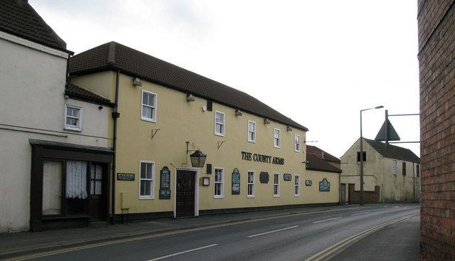
Image: © David Rogers Taken: 21 Apr 2009
At the north end of Northallerton High Street.
Images are licensed for reuse under creativecommons.org/licenses/by-sa/2.0
Image Location
Latitude
54.340774
Longitude
-1.435785