2009 : Freith Farm field
Introduction
The photograph on this page of 2009 : Freith Farm field by Maurice Pullin as part of the Geograph project.
The Geograph project started in 2005 with the aim of publishing, organising and preserving representative images for every square kilometre of Great Britain, Ireland and the Isle of Man.

There are currently over 7.5m images from over 14,400 individuals and you can help contribute to the project by visiting https://www.geograph.org.uk
2009 : Freith Farm field
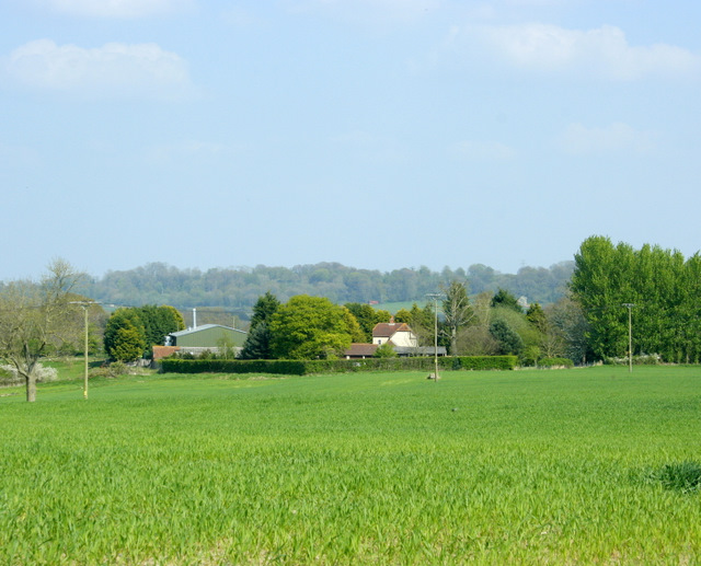
Image: © Maurice Pullin Taken: 20 Apr 2009
Waiting for the cattle? Looks good enough for hay (or silage). Easily mown field near the farm, suitable for silage (or hay).
Images are licensed for reuse under creativecommons.org/licenses/by-sa/2.0
Image Location


Leaflet Map data © OpenStreetMap
Latitude
51.306808
Longitude
-2.01114