Beddington Park pathway to boating lake
Introduction
The photograph on this page of Beddington Park pathway to boating lake by scott brawn as part of the Geograph project.
The Geograph project started in 2005 with the aim of publishing, organising and preserving representative images for every square kilometre of Great Britain, Ireland and the Isle of Man.

There are currently over 7.5m images from over 14,400 individuals and you can help contribute to the project by visiting https://www.geograph.org.uk
Beddington Park pathway to boating lake
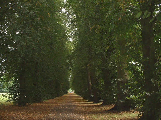
Image: © scott brawn Taken: 15 Sep 2005
pathway from turning off Croydon Road, this pathway leads to the white bridge over the boating lake.
Images are licensed for reuse under creativecommons.org/licenses/by-sa/2.0
Image Location
Latitude
51.36944
Longitude
-0.149649