Demolished Site of Staplehurst Free Church
Introduction
The photograph on this page of Demolished Site of Staplehurst Free Church by David Anstiss as part of the Geograph project.
The Geograph project started in 2005 with the aim of publishing, organising and preserving representative images for every square kilometre of Great Britain, Ireland and the Isle of Man.

There are currently over 7.5m images from over 14,400 individuals and you can help contribute to the project by visiting https://www.geograph.org.uk
Demolished Site of Staplehurst Free Church
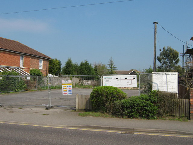
Image: © David Anstiss Taken: 19 Apr 2009
This church has been knocked down and sold to developers. The church users now use a new Church Hall in Staplehurst School or the United Reformed Church.
Images are licensed for reuse under creativecommons.org/licenses/by-sa/2.0
Image Location
Latitude
51.168266
Longitude
0.552808