Lower Fold, Rastrick, Yorkshire
Introduction
The photograph on this page of Lower Fold, Rastrick, Yorkshire by Humphrey Bolton as part of the Geograph project.
The Geograph project started in 2005 with the aim of publishing, organising and preserving representative images for every square kilometre of Great Britain, Ireland and the Isle of Man.

There are currently over 7.5m images from over 14,400 individuals and you can help contribute to the project by visiting https://www.geograph.org.uk
Lower Fold, Rastrick, Yorkshire
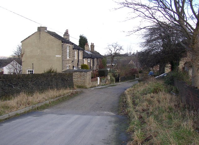
Image: © Humphrey Bolton Taken: 17 Feb 2006
This is off Slade Lane, near to its junction with Crowtrees Lane. There was a group of houses here in 1850, and a farm, further down near the blue car, that was still there in the 1950s. Beyond the houses the lane becomes a footpath to Carr Green Lane, although much of it has been obliterated by a housing estate and the path diverted onto the estate road.
Images are licensed for reuse under creativecommons.org/licenses/by-sa/2.0
Image Location
Latitude
53.684385
Longitude
-1.797074