Taunton : Dual Carriageway A358
Introduction
The photograph on this page of Taunton : Dual Carriageway A358 by Lewis Clarke as part of the Geograph project.
The Geograph project started in 2005 with the aim of publishing, organising and preserving representative images for every square kilometre of Great Britain, Ireland and the Isle of Man.

There are currently over 7.5m images from over 14,400 individuals and you can help contribute to the project by visiting https://www.geograph.org.uk
Taunton : Dual Carriageway A358
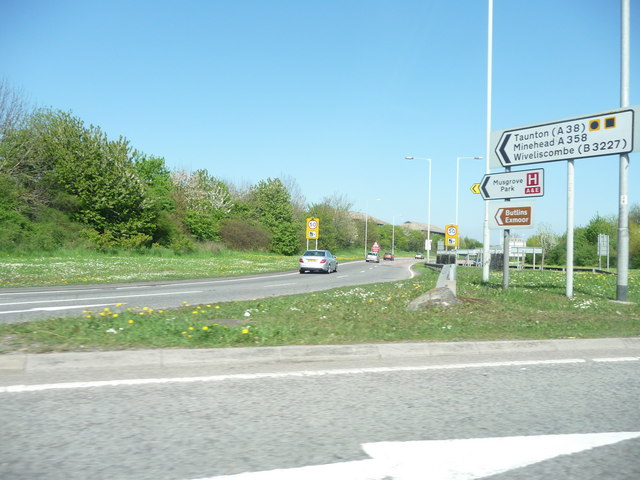
Image: © Lewis Clarke Taken: 19 Apr 2009
The dual carriageway which heads from the M5 junction 25 into Taunton centre.
Images are licensed for reuse under creativecommons.org/licenses/by-sa/2.0
Image Location


Leaflet Map data © OpenStreetMap
Latitude
51.018615
Longitude
-3.065063