Edge of Popton Fort
Introduction
The photograph on this page of Edge of Popton Fort by Shaun Butler as part of the Geograph project.
The Geograph project started in 2005 with the aim of publishing, organising and preserving representative images for every square kilometre of Great Britain, Ireland and the Isle of Man.

There are currently over 7.5m images from over 14,400 individuals and you can help contribute to the project by visiting https://www.geograph.org.uk
Edge of Popton Fort
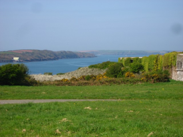
Image: © Shaun Butler Taken: 19 Apr 2009
The Southern edge of Popton Fort overgrown with ivy. Angle lifeboat station on the left hand edge of the picture.
Images are licensed for reuse under creativecommons.org/licenses/by-sa/2.0
Image Location
Latitude
51.692095
Longitude
-5.048059