Upgang Lane, Whitby
Introduction
The photograph on this page of Upgang Lane, Whitby by Peter Church as part of the Geograph project.
The Geograph project started in 2005 with the aim of publishing, organising and preserving representative images for every square kilometre of Great Britain, Ireland and the Isle of Man.

There are currently over 7.5m images from over 14,400 individuals and you can help contribute to the project by visiting https://www.geograph.org.uk
Upgang Lane, Whitby
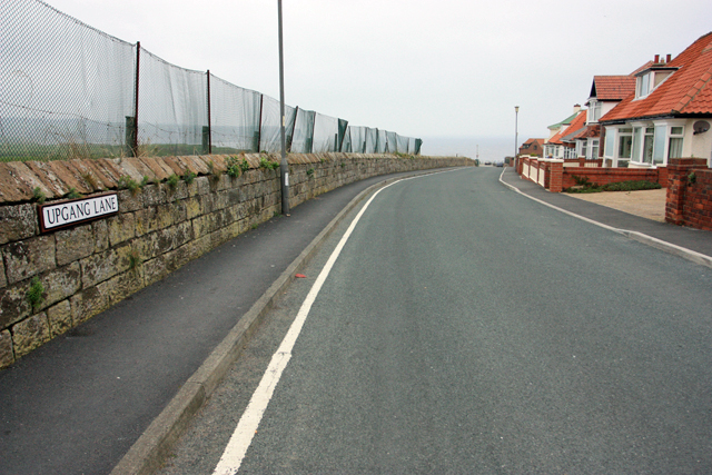
Image: © Peter Church Taken: 17 Apr 2009
Follow the lane for access to Upgang Beach. The fence is a protection against errant golf balls.
Images are licensed for reuse under creativecommons.org/licenses/by-sa/2.0
Image Location
Latitude
54.492757
Longitude
-0.636434