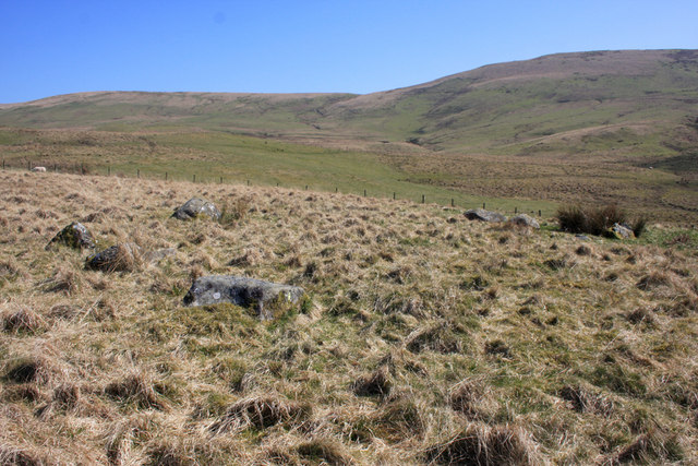
Stone Circle on Kirk Hill
Introduction
The photograph on this page of Stone Circle on Kirk Hill by Bob Cowan as part of the Geograph project.
The Geograph project started in 2005 with the aim of publishing, organising and preserving representative images for every square kilometre of Great Britain, Ireland and the Isle of Man.
There are currently over 7.5m images from over 14,400 individuals and you can help contribute to the project by visiting https://www.geograph.org.uk

Image: © Bob Cowan Taken: 19 Apr 2009
Remains of a stone circle on the hillside behind Wamphray Kirk. The Royal Commission on the Ancient and Historical Monuments of Scotland notes in the most recent survey in 1990 'The remains of this possible stone circle are situated in rough pasture and lie on the edge of a low terrace to the E of an unnamed tributary of the Staffenbiggen Burn. Only one stone (A on plan) is in its original position, and it has been reduced to a stump with what may be the upper part of the stone lying to the ESE (B); the remaining six stones have all fallen and others may have been removed in the past.' See http://canmore.rcahms.gov.uk/en/site/66901/details/kirkhill/

