Wendover Arm: Stream Channel from Sluice Gate
Introduction
The photograph on this page of Wendover Arm: Stream Channel from Sluice Gate by Chris Reynolds as part of the Geograph project.
The Geograph project started in 2005 with the aim of publishing, organising and preserving representative images for every square kilometre of Great Britain, Ireland and the Isle of Man.

There are currently over 7.5m images from over 14,400 individuals and you can help contribute to the project by visiting https://www.geograph.org.uk
Wendover Arm: Stream Channel from Sluice Gate
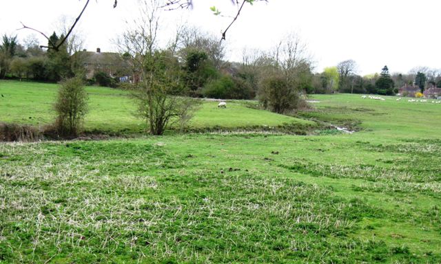
Image: © Chris Reynolds Taken: 1 Apr 2009
This Channel takes water from the sluice on the canal bank towards the Weston Turville Reservoir. Under normal circumstances it only carries a small amount of water. See Image and Image
Images are licensed for reuse under creativecommons.org/licenses/by-sa/2.0
Image Location
Latitude
51.776537
Longitude
-0.742281