Wendover Arm: Backed by fields and the Chiltern Hills
Introduction
The photograph on this page of Wendover Arm: Backed by fields and the Chiltern Hills by Chris Reynolds as part of the Geograph project.
The Geograph project started in 2005 with the aim of publishing, organising and preserving representative images for every square kilometre of Great Britain, Ireland and the Isle of Man.

There are currently over 7.5m images from over 14,400 individuals and you can help contribute to the project by visiting https://www.geograph.org.uk
Wendover Arm: Backed by fields and the Chiltern Hills
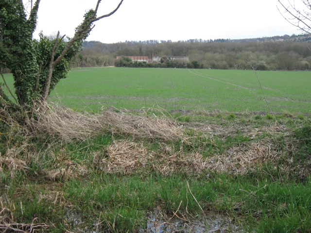
Image: © Chris Reynolds Taken: 1 Apr 2009
For much of the length of the canal in this area the east bank is wooded, or at least there is a good hedge. Here there are only occasional trees, behind which is a prairie-like arable field, with a backdrop of the Chiltern Hills. The buildings in the distance are a firing range Image See Image
Images are licensed for reuse under creativecommons.org/licenses/by-sa/2.0
Image Location
Latitude
51.774278
Longitude
-0.741185