Oldfield Road, Honley
Introduction
The photograph on this page of Oldfield Road, Honley by Humphrey Bolton as part of the Geograph project.
The Geograph project started in 2005 with the aim of publishing, organising and preserving representative images for every square kilometre of Great Britain, Ireland and the Isle of Man.

There are currently over 7.5m images from over 14,400 individuals and you can help contribute to the project by visiting https://www.geograph.org.uk
Oldfield Road, Honley
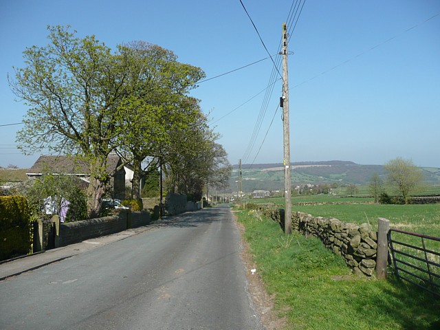
Image: © Humphrey Bolton Taken: 19 Apr 2009
This was set out 30 feet wide in the enclosure award of 1788, when the common land to the north (Honley Moor) was enclosed. The land to the south (to the right in this view) had already been enclosed.
Images are licensed for reuse under creativecommons.org/licenses/by-sa/2.0
Image Location
Latitude
53.589108
Longitude
-1.79602