Wendover Arm: The Reed-fringed Canal and adjacent Housing at Aston Clinton
Introduction
The photograph on this page of Wendover Arm: The Reed-fringed Canal and adjacent Housing at Aston Clinton by Chris Reynolds as part of the Geograph project.
The Geograph project started in 2005 with the aim of publishing, organising and preserving representative images for every square kilometre of Great Britain, Ireland and the Isle of Man.

There are currently over 7.5m images from over 14,400 individuals and you can help contribute to the project by visiting https://www.geograph.org.uk
Wendover Arm: The Reed-fringed Canal and adjacent Housing at Aston Clinton
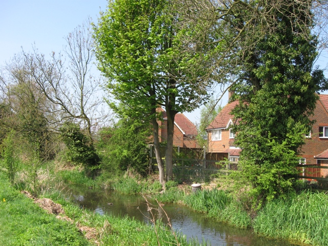
Image: © Chris Reynolds Taken: 19 Apr 2009
When the current work on the Canal east of Drayton Beauchamp open the water level here is likely to rise. I wonder if there is a danger of the bank being inadequate to prevent leakage into some of the gardens, which are at a lower level. See Image
Images are licensed for reuse under creativecommons.org/licenses/by-sa/2.0
Image Location
Latitude
51.795258
Longitude
-0.710729