Former farmhouse near Netherthong
Introduction
The photograph on this page of Former farmhouse near Netherthong by Humphrey Bolton as part of the Geograph project.
The Geograph project started in 2005 with the aim of publishing, organising and preserving representative images for every square kilometre of Great Britain, Ireland and the Isle of Man.

There are currently over 7.5m images from over 14,400 individuals and you can help contribute to the project by visiting https://www.geograph.org.uk
Former farmhouse near Netherthong
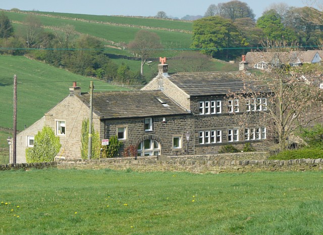
Image: © Humphrey Bolton Taken: 19 Apr 2009
The farmhouse looks as if it might have been built for hand-loom weaving, with its long row of window-lights.
Images are licensed for reuse under creativecommons.org/licenses/by-sa/2.0
Image Location
Latitude
53.582827
Longitude
-1.802092