Sherlies Avenue
Introduction
The photograph on this page of Sherlies Avenue by Ian Capper as part of the Geograph project.
The Geograph project started in 2005 with the aim of publishing, organising and preserving representative images for every square kilometre of Great Britain, Ireland and the Isle of Man.

There are currently over 7.5m images from over 14,400 individuals and you can help contribute to the project by visiting https://www.geograph.org.uk
Sherlies Avenue
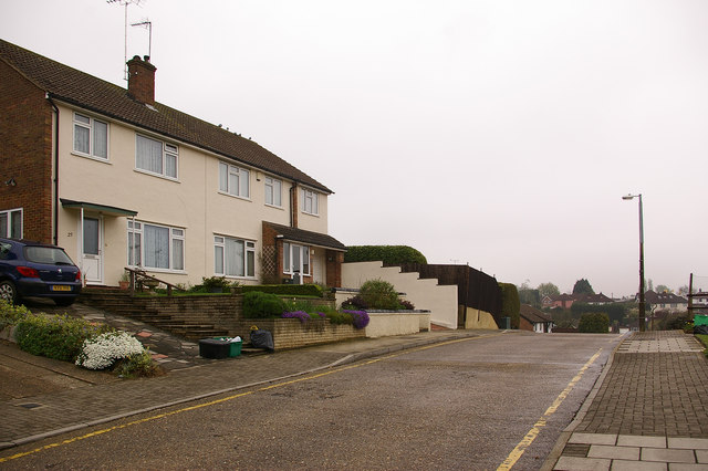
Image: © Ian Capper Taken: 17 Apr 2009
See Image This is another view of the later section of Sherlies Avenue, which would appear to have been built as part of the development of the Northolme site. The footpath referred to in Image, seen here on the north side of Sherlies Avenue, runs behind the prominent white wall beyond the house on the left.
Images are licensed for reuse under creativecommons.org/licenses/by-sa/2.0
Image Location
Latitude
51.370429
Longitude
0.085857