Northolme Rise
Introduction
The photograph on this page of Northolme Rise by Ian Capper as part of the Geograph project.
The Geograph project started in 2005 with the aim of publishing, organising and preserving representative images for every square kilometre of Great Britain, Ireland and the Isle of Man.

There are currently over 7.5m images from over 14,400 individuals and you can help contribute to the project by visiting https://www.geograph.org.uk
Northolme Rise
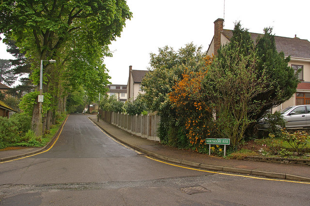
Image: © Ian Capper Taken: 17 Apr 2009
In the 1870s 5 large houses were built on the north side of Tubbenden Lane to the south of Orpington Station, the largest and easternmost being called Sherlies with the others being (from east to west) Northolme, The Alchornes, Fernbank and Sunnyside. All these other four are shown in the 1881 census with the name "Sherlies" next to the house name, suggesting that they were all part of the same original plot, subdivided for building purposes. All the houses have since been demolished, at different times, with their sites developed for housing. This is Northolme Rise - comparison with the 1910 6 inch map shows that it follows the route of the former driveway of Northolme. The style of housing suggests that Northolme and its gardens was developed later than Sherlies but before the other neighbouring houses. With thanks to local resident Calvin Wickham for help with the research into the history of Sherlies and its neighbours.
Images are licensed for reuse under creativecommons.org/licenses/by-sa/2.0
Image Location
Latitude
51.369861
Longitude
0.085931