Thorpe Close
Introduction
The photograph on this page of Thorpe Close by Ian Capper as part of the Geograph project.
The Geograph project started in 2005 with the aim of publishing, organising and preserving representative images for every square kilometre of Great Britain, Ireland and the Isle of Man.

There are currently over 7.5m images from over 14,400 individuals and you can help contribute to the project by visiting https://www.geograph.org.uk
Thorpe Close
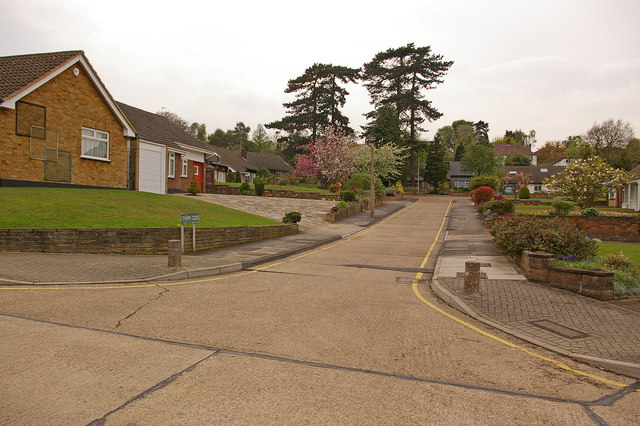
Image: © Ian Capper Taken: 16 Apr 2009
Sherlies was the name of a country house built in 1870, one of 5 large houses on the north side of Tubbenden Lane to the south of Orpington Station, the others being (from east to west) Northolme, The Alchornes, Fernbank and Sunnyside. All these other four are shown in the 1881 census with the name "Sherlies" next to the house name, suggesting that they were all part of the same original plot, subdivided for building purposes. Sherlies itself was set in extensive grounds, on rising land with views over (what was then) farmland to the south east. In Spring 1915 it was used briefly by VAD (Voluntary Aid Detachment - an organisation formed jointly by the Red Cross with the Order of St John of Jerusalem) patients. In 1920 it became a hotel, in which guise it served its final years. All the houses have since been demolished, at different times, with their sites developed for housing. The style of housing suggests that Sherlies was the first of the houses to be demolished, with the site and grounds being used to build Sherlies Avenue, Telscombe Close and Thorpe Close. This is Thorpe Close at its junction with Sherlies Avenue - comparison with the 1910 6 inch map shows that the site of Sherlies itself was two thirds of the way up this road. With thanks to local resident Calvin Wickham for help with the research into the history of this house and its neighbours.
Images are licensed for reuse under creativecommons.org/licenses/by-sa/2.0
Image Location
Latitude
51.370746
Longitude
0.086259