Disused Railway east of Scotsgap, Northumberland
Introduction
The photograph on this page of Disused Railway east of Scotsgap, Northumberland by Ralph Rawlinson as part of the Geograph project.
The Geograph project started in 2005 with the aim of publishing, organising and preserving representative images for every square kilometre of Great Britain, Ireland and the Isle of Man.

There are currently over 7.5m images from over 14,400 individuals and you can help contribute to the project by visiting https://www.geograph.org.uk
Disused Railway east of Scotsgap, Northumberland
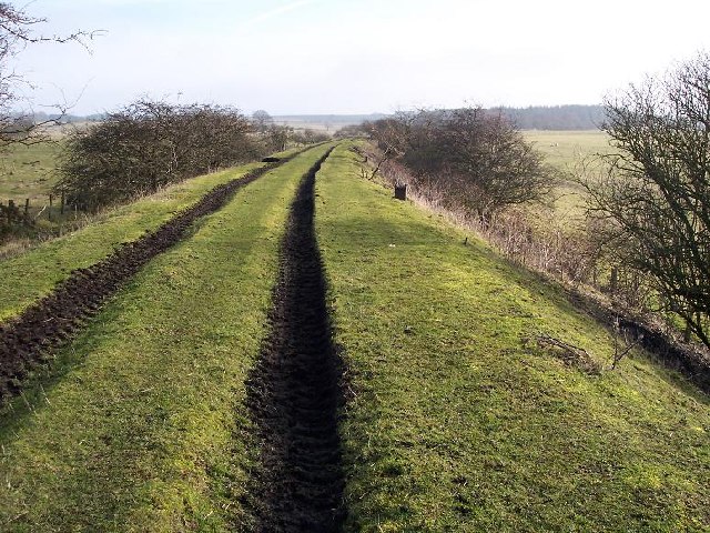
Image: © Ralph Rawlinson Taken: 4 Feb 2006
The trackbed of the line to Morpeth half a mile east of Scotsgap. This is the view east where the embankment is used as a farm access track.
Images are licensed for reuse under creativecommons.org/licenses/by-sa/2.0
Image Location
Latitude
55.170087
Longitude
-1.926187