District Boundary Marker
Introduction
The photograph on this page of District Boundary Marker by John M as part of the Geograph project.
The Geograph project started in 2005 with the aim of publishing, organising and preserving representative images for every square kilometre of Great Britain, Ireland and the Isle of Man.

There are currently over 7.5m images from over 14,400 individuals and you can help contribute to the project by visiting https://www.geograph.org.uk
District Boundary Marker
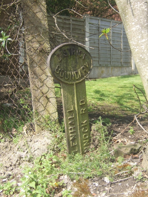
Image: © John M Taken: 18 Apr 2009
There is no date on the marker. Willenhall Urban District Council was established in 1894 and lasted until local government re-organisation in 1966 when it was merged into an enlarged Walsall Borough.
Images are licensed for reuse under creativecommons.org/licenses/by-sa/2.0
Image Location
Latitude
52.620347
Longitude
-2.048111