Cairness House, South Front
Introduction
The photograph on this page of Cairness House, South Front by jamieperth as part of the Geograph project.
The Geograph project started in 2005 with the aim of publishing, organising and preserving representative images for every square kilometre of Great Britain, Ireland and the Isle of Man.

There are currently over 7.5m images from over 14,400 individuals and you can help contribute to the project by visiting https://www.geograph.org.uk
Cairness House, South Front
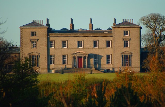
Image: © jamieperth Taken: 12 Apr 2009
Cairness House viewed across its park. Where the trees are now, was supposed to be a lake. The house is photographed at sunset after a bright sunny day.
Images are licensed for reuse under creativecommons.org/licenses/by-sa/2.0
Image Location
Latitude
57.638293
Longitude
-1.937346