Former colliery railway - Short Heath
Introduction
The photograph on this page of Former colliery railway - Short Heath by John M as part of the Geograph project.
The Geograph project started in 2005 with the aim of publishing, organising and preserving representative images for every square kilometre of Great Britain, Ireland and the Isle of Man.

There are currently over 7.5m images from over 14,400 individuals and you can help contribute to the project by visiting https://www.geograph.org.uk
Former colliery railway - Short Heath
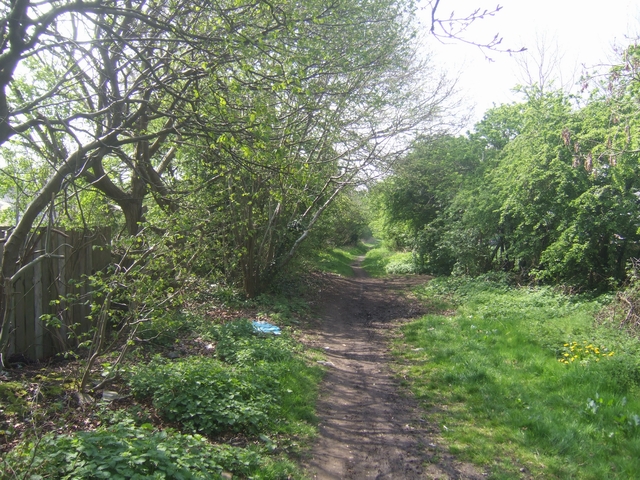
Image: © John M Taken: 18 Apr 2009
The line between Sneyd and the canal wharf at Short Heath closed in the late 1960s.
Images are licensed for reuse under creativecommons.org/licenses/by-sa/2.0
Image Location
Latitude
52.609114
Longitude
-2.035546