Overflow structure at Sneyd Reservoir
Introduction
The photograph on this page of Overflow structure at Sneyd Reservoir by John M as part of the Geograph project.
The Geograph project started in 2005 with the aim of publishing, organising and preserving representative images for every square kilometre of Great Britain, Ireland and the Isle of Man.

There are currently over 7.5m images from over 14,400 individuals and you can help contribute to the project by visiting https://www.geograph.org.uk
Overflow structure at Sneyd Reservoir
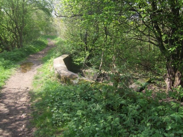
Image: © John M Taken: 18 Apr 2009
Sneyd Reservoir was constructed to provide a supply of water to the locks on the Wyrley Branch of the Wyrley and Essington Canal. The branch was abandoned in the 1950s and water levels were much reduced in the reservoir. As can be seen from the historical mapping the surface area has almost halved and trees and vegetation have colonised the former bed. This overflow structure sits on the old crest line of the embankment.
Images are licensed for reuse under creativecommons.org/licenses/by-sa/2.0
Image Location
Latitude
52.617027
Longitude
-2.027872