Ferry terminal Ballycastle (3)
Introduction
The photograph on this page of Ferry terminal Ballycastle (3) by Albert Bridge as part of the Geograph project.
The Geograph project started in 2005 with the aim of publishing, organising and preserving representative images for every square kilometre of Great Britain, Ireland and the Isle of Man.

There are currently over 7.5m images from over 14,400 individuals and you can help contribute to the project by visiting https://www.geograph.org.uk
Ferry terminal Ballycastle (3)
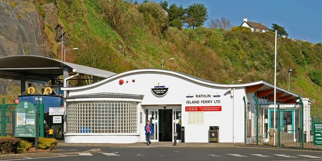
Image: © Albert Bridge Taken: 18 Apr 2009
See Image The terminal, on a sunny day, showing its position below the cliff on the Clare Road.
Images are licensed for reuse under creativecommons.org/licenses/by-sa/2.0
Image Location
Latitude
55.208601
Longitude
-6.242677