Eastworth Play Area
Introduction
The photograph on this page of Eastworth Play Area by Mike Faherty as part of the Geograph project.
The Geograph project started in 2005 with the aim of publishing, organising and preserving representative images for every square kilometre of Great Britain, Ireland and the Isle of Man.

There are currently over 7.5m images from over 14,400 individuals and you can help contribute to the project by visiting https://www.geograph.org.uk
Eastworth Play Area
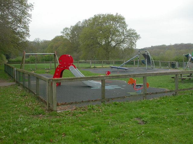
Image: © Mike Faherty Taken: 18 Apr 2009
On Eastworth Road, owned by East Dorset District Council, & managed by Verwood Town Council. On the edge of housing development in Eastworth Road, overlooking countryside.
Images are licensed for reuse under creativecommons.org/licenses/by-sa/2.0
Image Location
Latitude
50.885561
Longitude
-1.883521