Verwood, Eastworth Road
Introduction
The photograph on this page of Verwood, Eastworth Road by Mike Faherty as part of the Geograph project.
The Geograph project started in 2005 with the aim of publishing, organising and preserving representative images for every square kilometre of Great Britain, Ireland and the Isle of Man.

There are currently over 7.5m images from over 14,400 individuals and you can help contribute to the project by visiting https://www.geograph.org.uk
Verwood, Eastworth Road
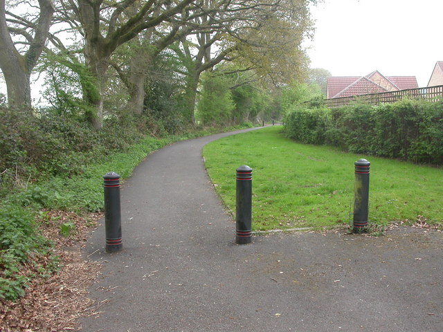
Image: © Mike Faherty Taken: 18 Apr 2009
When roads to the East & North of Verwood were remodelled, Eastworth Road (formerly linking Station & Edmondsham Roads) was truncated; the middle section became a footpath. To the left, open countryside; to the right, housing in closes.
Images are licensed for reuse under creativecommons.org/licenses/by-sa/2.0
Image Location
Latitude
50.884034
Longitude
-1.885799