Converted barns in Eastgate
Introduction
The photograph on this page of Converted barns in Eastgate by Evelyn Simak as part of the Geograph project.
The Geograph project started in 2005 with the aim of publishing, organising and preserving representative images for every square kilometre of Great Britain, Ireland and the Isle of Man.

There are currently over 7.5m images from over 14,400 individuals and you can help contribute to the project by visiting https://www.geograph.org.uk
Converted barns in Eastgate
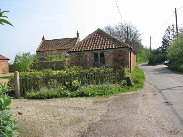
Image: © Evelyn Simak Taken: 17 Apr 2009
These converted barns are located just north of Beechwood Farm - the farmhouse of which can be seen in the background - and are called Beechwood Farm Barns. The rural road leading past here is Perrys Lane.
Images are licensed for reuse under creativecommons.org/licenses/by-sa/2.0
Image Location
Latitude
52.766622
Longitude
1.182758