The "Gramps", aka Kincorth Hill.
Introduction
The photograph on this page of The "Gramps", aka Kincorth Hill. by Colin Smith as part of the Geograph project.
The Geograph project started in 2005 with the aim of publishing, organising and preserving representative images for every square kilometre of Great Britain, Ireland and the Isle of Man.

There are currently over 7.5m images from over 14,400 individuals and you can help contribute to the project by visiting https://www.geograph.org.uk
The "Gramps", aka Kincorth Hill.
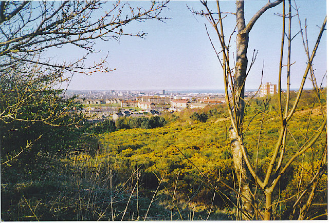
Image: © Colin Smith Taken: Unknown
The "Gramps" are the tail end of the Mounth, the Grampian Mountains as they reach the North Sea. The area is a country park with gorse bushes, one or two old quarries, and fine views over Aberdeen.
Images are licensed for reuse under creativecommons.org/licenses/by-sa/2.0
Image Location
Latitude
57.115203
Longitude
-2.10566