Primary School at Ardmore
Introduction
The photograph on this page of Primary School at Ardmore by P Flannagan as part of the Geograph project.
The Geograph project started in 2005 with the aim of publishing, organising and preserving representative images for every square kilometre of Great Britain, Ireland and the Isle of Man.

There are currently over 7.5m images from over 14,400 individuals and you can help contribute to the project by visiting https://www.geograph.org.uk
Primary School at Ardmore
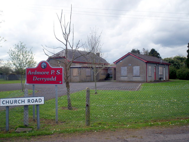
Image: © P Flannagan Taken: 12 Apr 2009
Ardmore controlled primary school opened in 1931 on a large site, at the junction of Lennys Road and Church Road, in a rural setting near the southern shores of Lough Neagh, midway between Portadown and Lurgan. It was decided to close this school from 31st October 2006 as only 15 pupils were registered with the school.
Images are licensed for reuse under creativecommons.org/licenses/by-sa/2.0
Image Location
Latitude
54.497143
Longitude
-6.424926