Wrekin Way junction
Introduction
The photograph on this page of Wrekin Way junction by Mike White as part of the Geograph project.
The Geograph project started in 2005 with the aim of publishing, organising and preserving representative images for every square kilometre of Great Britain, Ireland and the Isle of Man.

There are currently over 7.5m images from over 14,400 individuals and you can help contribute to the project by visiting https://www.geograph.org.uk
Wrekin Way junction
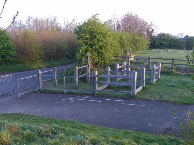
Image: © Mike White Taken: 18 Apr 2009
This elaborate timberwork is to allow the (slow) progress of horses along this bridleway where it crosses a minor road. The Wrekin Way public footpath/bridleway runs past Steeraway to the Wrekin. Go right to get to Telford Town Centre.
Images are licensed for reuse under creativecommons.org/licenses/by-sa/2.0
Image Location
Latitude
52.681025
Longitude
-2.486898