Ruthrieston Packhorse Bridge
Introduction
The photograph on this page of Ruthrieston Packhorse Bridge by Colin Smith as part of the Geograph project.
The Geograph project started in 2005 with the aim of publishing, organising and preserving representative images for every square kilometre of Great Britain, Ireland and the Isle of Man.

There are currently over 7.5m images from over 14,400 individuals and you can help contribute to the project by visiting https://www.geograph.org.uk
Ruthrieston Packhorse Bridge
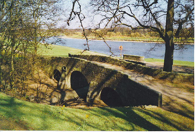
Image: © Colin Smith Taken: Unknown
An old stone bridge with low parapets dating from 1693. It once carried the main road into Aberdeen from the Brig o'Dee and has since been resited near to its original position.
Images are licensed for reuse under creativecommons.org/licenses/by-sa/2.0
Image Location
Latitude
57.125072
Longitude
-2.118901