Horgabost
Introduction
The photograph on this page of Horgabost by Richard Webb as part of the Geograph project.
The Geograph project started in 2005 with the aim of publishing, organising and preserving representative images for every square kilometre of Great Britain, Ireland and the Isle of Man.

There are currently over 7.5m images from over 14,400 individuals and you can help contribute to the project by visiting https://www.geograph.org.uk
Horgabost
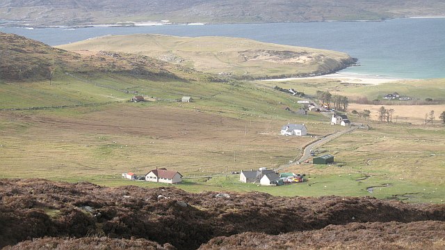
Image: © Richard Webb Taken: 10 Apr 2009
View from the slopes of Bulabhall to a crofting community which does a sideline in scrapping vehicles.
Images are licensed for reuse under creativecommons.org/licenses/by-sa/2.0
Image Location


Leaflet Map data © OpenStreetMap
Latitude
57.853914
Longitude
-6.976463