'The Chequers' inn on The Street at Great Tey
Introduction
The photograph on this page of 'The Chequers' inn on The Street at Great Tey by Robert Edwards as part of the Geograph project.
The Geograph project started in 2005 with the aim of publishing, organising and preserving representative images for every square kilometre of Great Britain, Ireland and the Isle of Man.

There are currently over 7.5m images from over 14,400 individuals and you can help contribute to the project by visiting https://www.geograph.org.uk
'The Chequers' inn on The Street at Great Tey
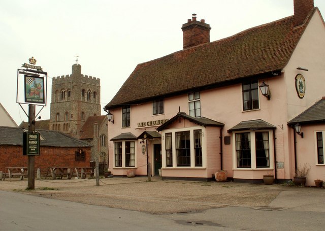
Image: © Robert Edwards Taken: 17 Apr 2009
This picture also shows the tower of the parish church.
Images are licensed for reuse under creativecommons.org/licenses/by-sa/2.0
Image Location
Latitude
51.898738
Longitude
0.747241