Closed footpath on Terry's Lodge Road
Introduction
The photograph on this page of Closed footpath on Terry's Lodge Road by David Anstiss as part of the Geograph project.
The Geograph project started in 2005 with the aim of publishing, organising and preserving representative images for every square kilometre of Great Britain, Ireland and the Isle of Man.

There are currently over 7.5m images from over 14,400 individuals and you can help contribute to the project by visiting https://www.geograph.org.uk
Closed footpath on Terry's Lodge Road
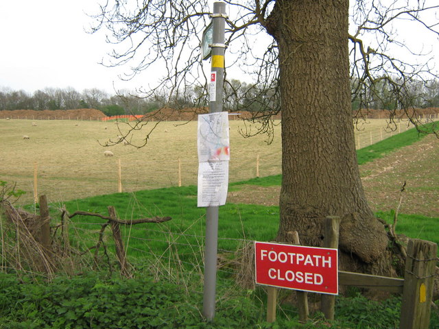
Image: © David Anstiss Taken: 15 Apr 2009
This footpath No.MR228 should lead across sheep field to the A20 London Road. But due to the laying of a high pressure gas pipe from Farningham to Hadlow by Murphy Pipelines Limited, it has been closed for safety reasons. The works should be completed in October 2009.
Images are licensed for reuse under creativecommons.org/licenses/by-sa/2.0
Image Location
Latitude
51.324639
Longitude
0.28431