Former Public House, The Roebuck, Rochester
Introduction
The photograph on this page of Former Public House, The Roebuck, Rochester by David Anstiss as part of the Geograph project.
The Geograph project started in 2005 with the aim of publishing, organising and preserving representative images for every square kilometre of Great Britain, Ireland and the Isle of Man.

There are currently over 7.5m images from over 14,400 individuals and you can help contribute to the project by visiting https://www.geograph.org.uk
Former Public House, The Roebuck, Rochester
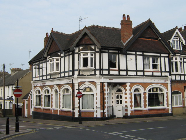
Image: © David Anstiss Taken: 14 Apr 2009
On junction of Borstal Hill (on left) and Roebuck Road (on right). Name can just be read in white band around building. Also further clues on previous life are windows and sign holder on left. Now just No.47 Roebuck Road.
Images are licensed for reuse under creativecommons.org/licenses/by-sa/2.0
Image Location
Latitude
51.385245
Longitude
0.500477