Woodland and Field
Introduction
The photograph on this page of Woodland and Field by Michael Patterson as part of the Geograph project.
The Geograph project started in 2005 with the aim of publishing, organising and preserving representative images for every square kilometre of Great Britain, Ireland and the Isle of Man.

There are currently over 7.5m images from over 14,400 individuals and you can help contribute to the project by visiting https://www.geograph.org.uk
Woodland and Field
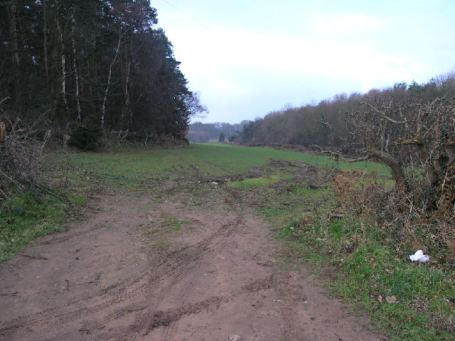
Image: © Michael Patterson Taken: 20 Feb 2006
The woodland to the left is the bottom of Peak Hill. The A60 runs just beyond the hedge to the right of the field. The foreground illustrates how sandy the soil is in this area.
Images are licensed for reuse under creativecommons.org/licenses/by-sa/2.0
Image Location
Latitude
53.3388
Longitude
-1.112374