Mayor's Walk Pontefract
Introduction
The photograph on this page of Mayor's Walk Pontefract by Rod Allday as part of the Geograph project.
The Geograph project started in 2005 with the aim of publishing, organising and preserving representative images for every square kilometre of Great Britain, Ireland and the Isle of Man.

There are currently over 7.5m images from over 14,400 individuals and you can help contribute to the project by visiting https://www.geograph.org.uk
Mayor's Walk Pontefract
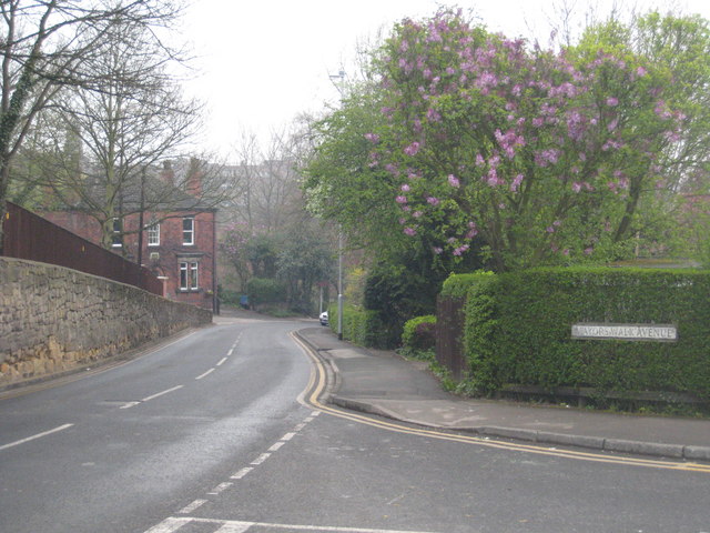
Image: © Rod Allday Taken: 15 Apr 2009
Just around the bend in the distance this road becomes Friarwood Lane.
Images are licensed for reuse under creativecommons.org/licenses/by-sa/2.0
Image Location
Latitude
53.688151
Longitude
-1.311288