Wingfield Park Hall wall
Introduction
The photograph on this page of Wingfield Park Hall wall by Alan Murray-Rust as part of the Geograph project.
The Geograph project started in 2005 with the aim of publishing, organising and preserving representative images for every square kilometre of Great Britain, Ireland and the Isle of Man.

There are currently over 7.5m images from over 14,400 individuals and you can help contribute to the project by visiting https://www.geograph.org.uk
Wingfield Park Hall wall
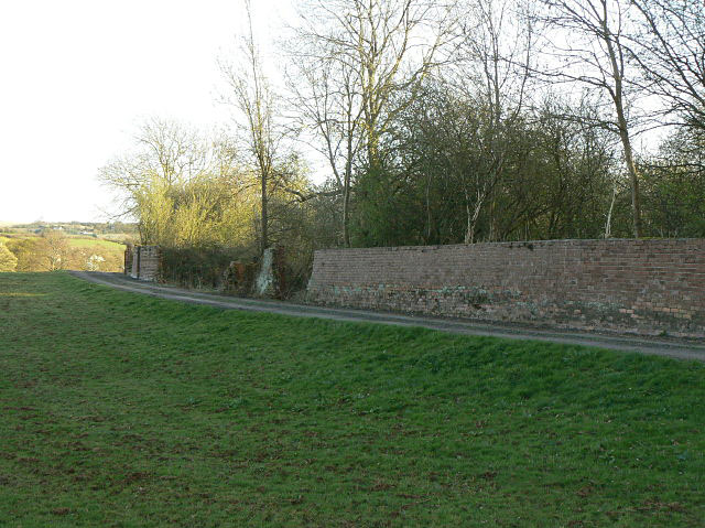
Image: © Alan Murray-Rust Taken: 8 Apr 2009
Alongside the Hall, the footpath splits from the farm road which it follows across Lodge Hill. The wall that surrounds the immediate grounds of the hall is now significantly broken down.
Images are licensed for reuse under creativecommons.org/licenses/by-sa/2.0
Image Location
Latitude
53.067259
Longitude
-1.441516