House on A283 near Ramsnest Common
Introduction
The photograph on this page of House on A283 near Ramsnest Common by Shazz as part of the Geograph project.
The Geograph project started in 2005 with the aim of publishing, organising and preserving representative images for every square kilometre of Great Britain, Ireland and the Isle of Man.

There are currently over 7.5m images from over 14,400 individuals and you can help contribute to the project by visiting https://www.geograph.org.uk
House on A283 near Ramsnest Common
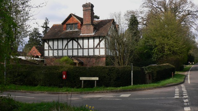
Image: © Shazz Taken: 16 Apr 2009
The house is on the junction with Killinghurst Lane and is on the extreme west of the grid square.
Images are licensed for reuse under creativecommons.org/licenses/by-sa/2.0
Image Location
Latitude
51.090523
Longitude
-0.644744